Offline map saving
Starting from the UgCS version 4.9 with the experimental Offline Map feature, it is possible to save a region of the map for offline use in UgCS.
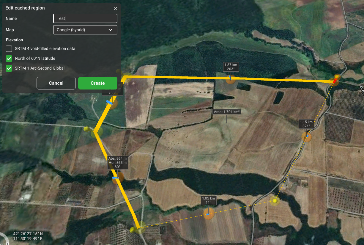
- The maximum Area of the region cannot exceed 100km2.
- The region boundary cannot intersect itself.
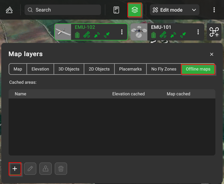
Open "Map layers"
Navigate to the “Offline maps” tab and click on “Add

Add a name for the map region, create the region boundary by double-clicking on the desired locations, and click on “Create”.

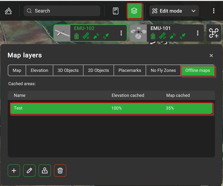
The map region is saved

Updated 3 months ago
