Photogrammetry corridor (Corridor mapping)

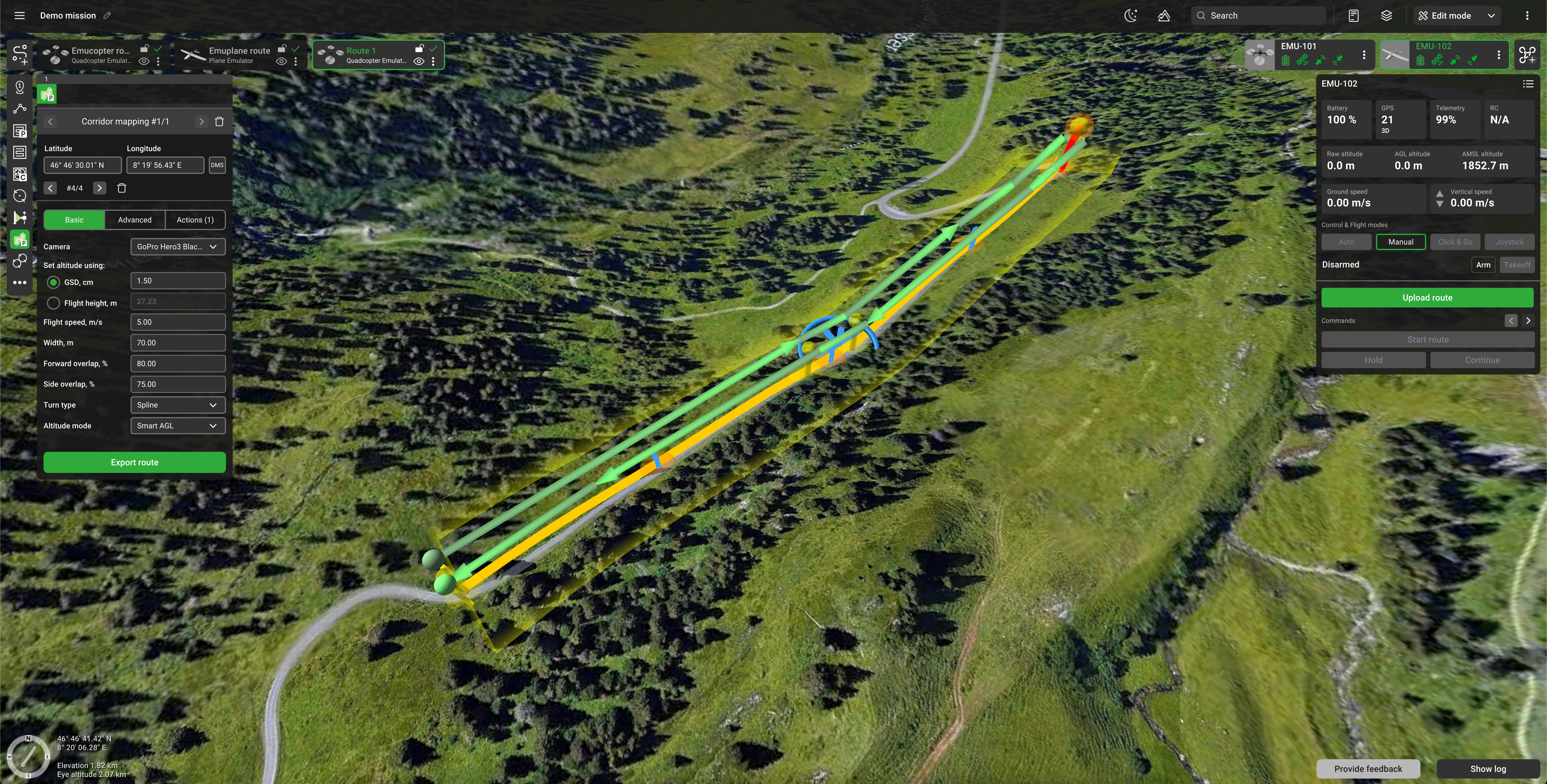
Photogrammetry corridor flight plan
A Photogrammetry corridor or corridor mapping tool is intended to support linear object inspection, like power lines, roads, and rivers. On such missions, drones can be equipped with photos or video cameras. It covers a specified corridor with a sensor footprint with a certain overlap (both forward and side). Altitude can either be indicated directly or can be calculated based on camera settings - GSD value. A corridor is defined by specifying the following parameters:
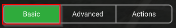
Basic
Camera - drop-down list with cameras attached to the vehicle profile. The default is 1st camera in the profile or a previously selected value.
Set altitude using:
- (GSD, cm) – approximate ground resolution for resulting images (in centimeters per pixel);
- Flight height, m - the direct altitude indication (in meters).
Width - corridor width in meters. This means adding a Width/2 margin to the
left and right from the center line. Integer entered in the inspector. By default, 30 or previously
entered values.
Forward overlap - the percentage of forwarding overlap. The default is 30% or the previously entered value.
Side overlap - the percentage of side overlap. The default is 30% or the previously entered value.
Altitude mode - AMSL, AGL, Smart AGL, or Rangefinder. The default is AGL or a previously entered value.
Advanced
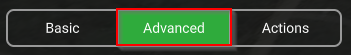
AGL Tolerance - Allowable height difference, when it’s impossible to put additional waypoints. An additional point is placed if it goes beyond this boundary. If not set should be treated as 0 (zero).
Action execution:
- Every point – actions will be generated on all waypoints;
- At the start – the algorithm will generate actions only at the first waypoint;
- Forward passes – actions generated at all points during the passage, payload disabled at turns
Camera top facing forward – concerns the camera orientation to the motion vector. The flag assumes the camera is oriented so that the frames overlap over the upper frame boundary motion vector. If the flag is removed, the frames overlap along the lateral frame boundary.
The tool supports the same list of actions as the photogrammetry tool. The default action is camera attitude, the camera facing down and automatically triggered by distance. Automatic action parameters are being calculated in the same way as for the photogrammetry tool.
The route calculator may generate several passes if it is required to fulfil coverage and overlap constraints. The following rules should be applied:
- Passes are always parallel to the corridor centre line;
- If the corridor can be covered by a single pass then one pass coinciding centre line is enough
- If one pass is not enough, the calculator will try to cover the corridor with the minimum possible number of passes, balancing several passes on the left and right sides from the centerline
- It always keeps the drone trajectory inside the corridor
Obstacle avoidance behavior is the same as in the photogrammetry tool.
Altitude calculation from GSD is the same as for the photogrammetry tool.

Photogrammetry corridor split
The new option to split the corridor is now available.
To split the corridor choose the waypoint, where the first part should end, click the mouse right button, and choose "Split".

The corridor will be split into 2 new routes with the same parameters.

Note: Camera actions will be added automatically, such as:
- Set camera attitude - tilt 90
- Set camera by distance - Auto
Updated 4 months ago