Circle

Circle flight plan
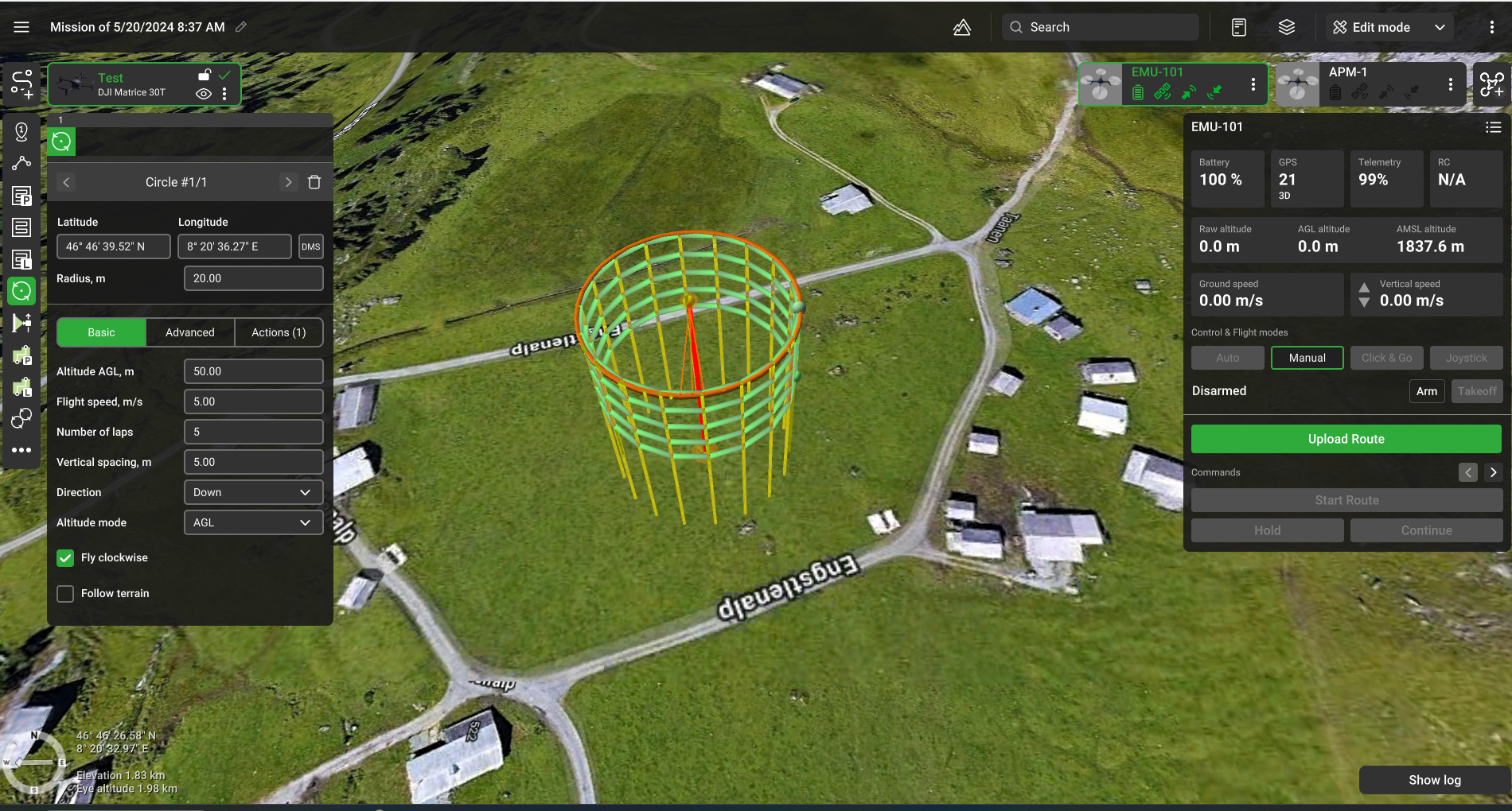
The circle tool makes the route going around the specified point at a required distance the vehicle facing the centre (if autopilot supports it). If it is not required for the vehicle to face the centre, remove the "Set POI" action that is added by default, and the vehicle will fly facing the flight direction. Creating a circle is similar to creating a waypoint. To change the radius of the circle, drag the circular part of the pin. The radius can be specified in the properties of the circle in numerical format.
Like with waypoints, circles can be added to the route in sequence.
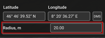
Basic
Altitude AGL - altitude of flight along the circle.
Number of laps - number of full turns the drone has to make around the circle.
Vertical spacing - altitude between full circles if the number is greater than 1.
Direction - the direction the drone follows when flying several circles at a distance.
Altitude mode - AMSL, AGL
Fly clockwise flag indicates whether the drone will fly clockwise (checked) or counterclockwise (unchecked).
Follow terrain if enabled all generated waypoints have the same altitude from the ground (AGL altitudes are equal). If disabled, all the points will have equal AMSL altitudes.
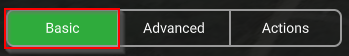
Advanced
Number of approximating points - number of basic waypoints generated. If left blank, this parameter will be automatically determined from the radius of the circle.
No actions at last point - do not perform actions at the last point.
Updated 8 months ago