Route calculation
After the route is formed with all segments in place and their parameters are double-checked, it is ready for processing.
The calculation process starts automatically and might take some time.
During the calculation process, the route is checked for feasibility according to predefined rules. First, it checks whether the figures and parameters are specified correctly. All polygons must be connected, and all parameters must be correctly specified before proceeding. Correct parameters must also be specified for actions attached to the route segments.
Calculated route build around NFZ and buildings.
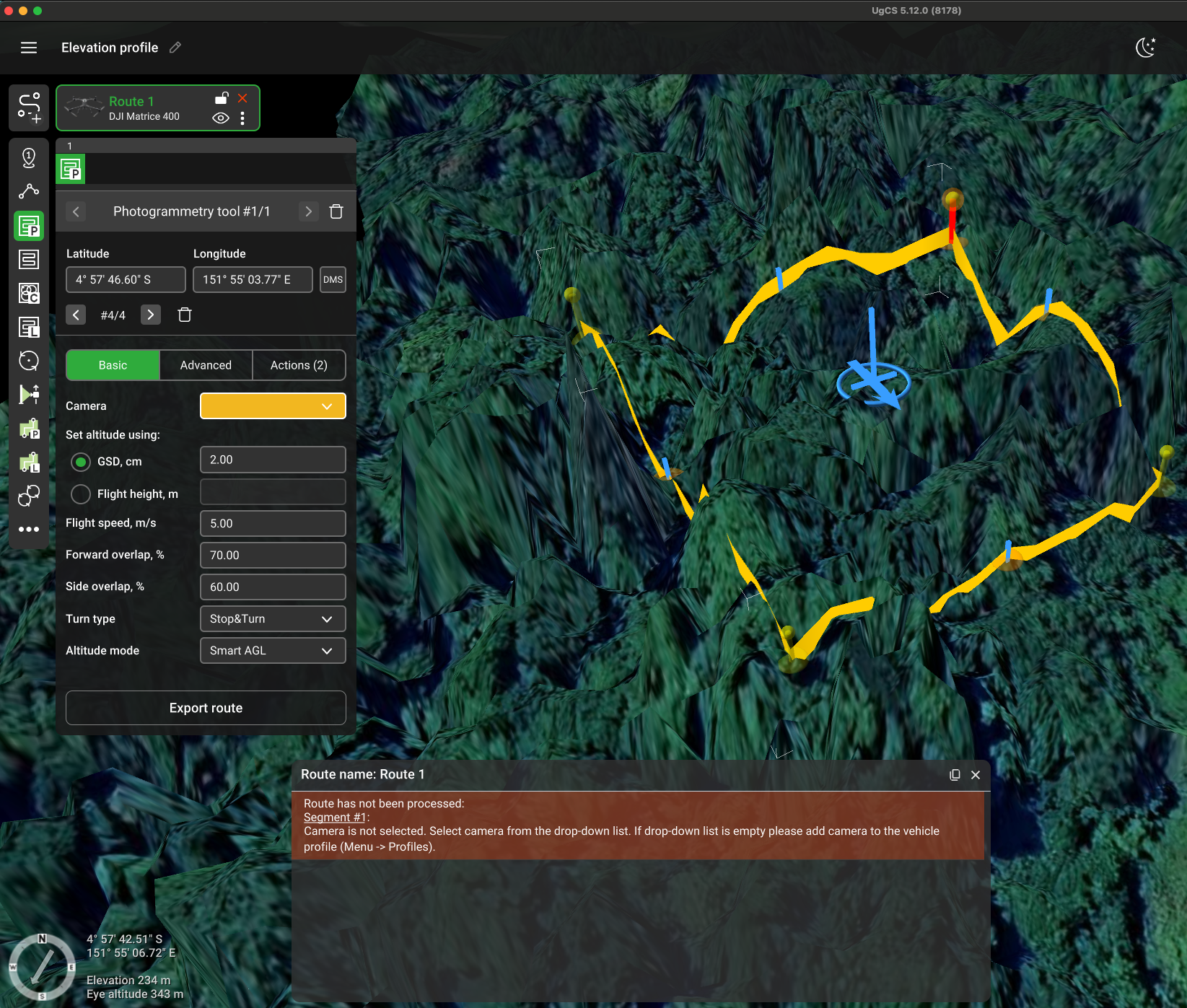
To ease error correction for a route, a message will be displayed pointing to incorrect values before route calculation proceeds. The first route segment with an invalid parameter is automatically selected. After the problem is fixed, UgCS automatically starts route re-calculation. If there are no more errors, the calculation process will be launched.

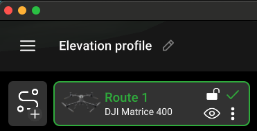
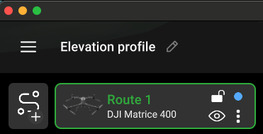
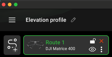
The route card displays the status of the calculation (in the upper right corner).
• green check mark - the route is calculated; no errors are detected;

• blue circle - there is a route calculation;

• red cross - in the itinerary, there is an error, change the parameters of points in the route.

Updated 3 months ago
