Perimeter

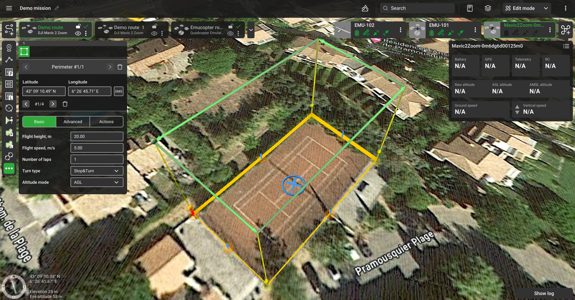
Perimeter flight plan
The tool allows you to build a route along the perimeter of the drawn figure.
Basic
Flight height - altitude of flight along the perimeter. This altitude is not affected by the altitude type chosen for the route.
Number of laps - number of times the drone flies along the perimeter.
Altitude mode - AMSL, AGL.
Advanced

No actions at last point - do not perform actions at the last point.
Updated 8 months ago
Did this page help you?