
Importing routes
UgCS software allows route import in several formats: .JSON, .KML and .CSV. Starting version 5.4 is available for multiple route import.
JSON file import:
Click on the "Add new route" button

Browse for the file/files in .json format and click the button "Next".
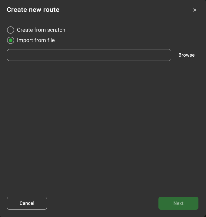
KML file import:
Click on the "Add new route" button;
Browse for the file/files in .kml format and click the button "Next"
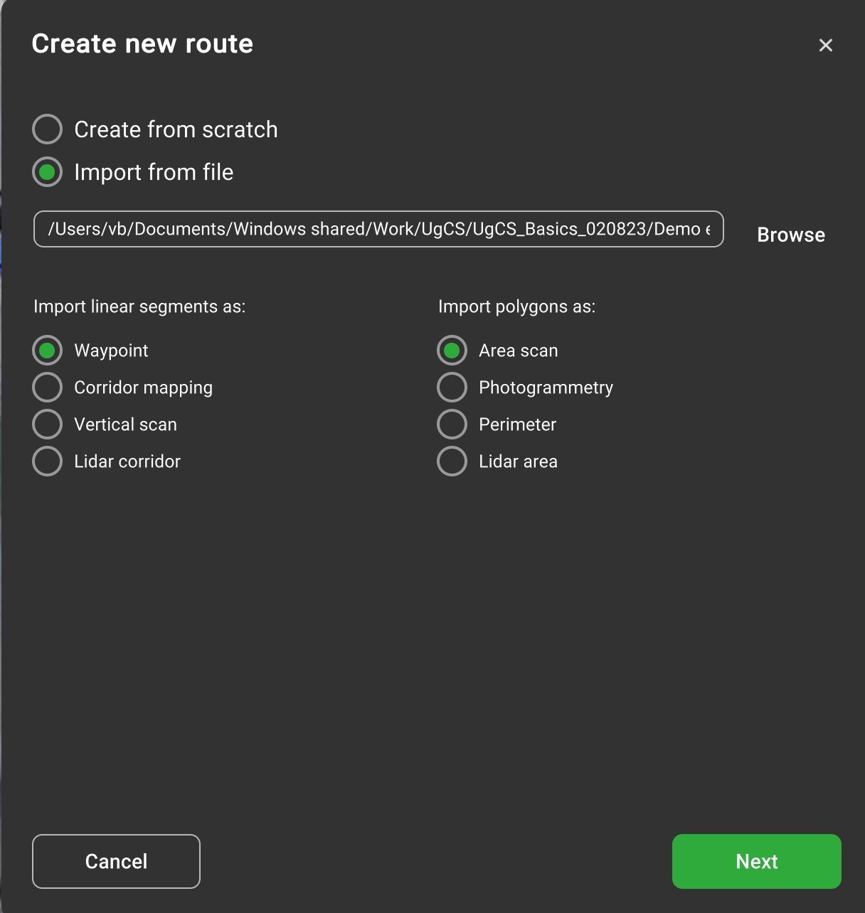
While importing KML UgCS read elements from Placemark. If Placemark contains MultiGeometry with several elements all of them will be imported.
•linear segments - while importing can be converted into Waypoint, Corridor mapping, Vertical Scan, or Lidar corridor by user choice. For Vertical scan, Corridor mapping and Lidar corridor points altitude will be ignored. Waypoint will save altitude mode and altitude value from KML.
•polygons - while importing can be converted into AreaScan, Photogrammetry, Perimeter or Lidar area, by user choice. Waypoint mode and points altitude will be ignored.
CSV file import:
Click on the "Add new route" button;
Browse for the file/files in .CSV format and click the button "Next"
There are two ways to describe data in CSV:
•without column names (headers) - in that case, a column order defines a data meaning;
•with column names (headers) - in that case, column names (headers) define a data meaning.
CSV schema without column names (header):
CSV file must have 3 mandatory fields: "Latitude", "Longitude", "AltitudeAGL". The fourth field "Speed" is optional.
CSV schema with column names (header):
To recognise data, column names are used. CSV file can contain any number of columns, but only columns with the following names are used to get data:
| Column name | Values | Required | Data meaning |
|---|---|---|---|
| WP | Int | No — but if the column is present, the cell must be filled in every row | The waypoint number in the route. If the column is not specified then the waypoints are ordered by row number. An empty cell in an existing WP column is an error. |
| Latitude | Double. Optional suffix N/S (S negates) | Yes | The latitude of the waypoint. |
| Longitude | Double. Optional suffix E/W (W negates) | Yes | The longitude of the waypoint. |
| AltitudeAGL | Double | Required if AltitudeAMSL and AltitudeRNG not specified | The AGL altitude of the waypoint. Takes precedence if more than one altitude column is filled. |
| AltitudeAMSL | Double | Required if AltitudeAGL and AltitudeRNG not specified | The AMSL altitude of the waypoint. Converted to AGL using server elevation data; import fails if elevation data unavailable for the area. |
| AltitudeRNG | Double | Required if AltitudeAGL and AltitudeAMSL not specified | The rangefinder altitude of the waypoint. Sets waypoint altitude type to "Rangefinder". Used only when neither AltitudeAGL nor AltitudeAMSL is filled. |
| Speed | Double | No | "Flight speed" attribute value of the waypoint. If not specified then 5 m/s. Read only if the row has more than 3 fields. |
| TurnType | 1 = Spline or Stop and Turn 2 = Straight or Adaptive Bank turn | No | "Turn type" attribute value of the waypoint. If not specified then Stop&Turn. Value outside 1–4 or non-integer is an error. |
| Picture | True / False (case insensitive) | No | If true then "Set camera mode" action with option "Shot" is created for the waypoint. False and empty create no action. |
| Video | True / False (case insensitive) | No | If true then "Set camera mode" action with option "Start recording" is created; if false then "Stop recording". Empty creates no action. Combinable with Picture in same waypoint → two actions. |
| UavYaw | Double 0.00–360.00. If the value is out of the range then it is automatically converted to the value in the range | No | Drone yaw (degrees relative to the north). If specified then the "Change yaw" action with corresponding "Yaw" relative to the north is created for the waypoint. |
| CameraYaw | Double 0.00–360.00, out-of-range auto-converted | No | Camera yaw (degrees). If specified then "Set camera attitude" action with corresponding "Yaw" is created. |
| CameraTilt | Double 0.00–360.00, out-of-range auto-converted | No | Camera tilt (degrees). If specified then "Set camera attitude" action with corresponding "Tilt" is created. |
| CameraRoll | Double 0.00–360.00, out-of-range auto-converted | No | Camera roll (degrees). If specified then "Set camera attitude" action with corresponding "Roll" is created. |
| CameraZoomLevel | Int. Surrounding spaces not allowed | No | Camera zoom level. If specified then "Set camera attitude" action with corresponding "Zoom level" is created. CameraYaw / CameraTilt / CameraRoll / CameraZoomLevel combine into a single "Set camera attitude" action. |
| WaitTime | Double | No | Wait time (seconds). If specified then the "Wait" action with corresponding "Wait duration, s" is created for the waypoint. |
| CameraByTime | Double (seconds) | No | Camera series interval by time. If specified then "Camera series by time" action with corresponding "Interval, s" is created; remaining fields of the action stay empty. |
| CameraByDistance | Double (meters) | No | Camera series interval by distance. If specified then "Camera series by distance" action with corresponding "Interval, m" is created; remaining fields stay empty. |
| PoiLatitude | Double. Optional suffix N/S | Required together with PoiLongitude and PoiAltitude | The latitude of the point of interest. If all three POI columns are filled then "Set POI" action with mode "Location" is created. |
| PoiLongitude | Double. Optional suffix E/W | Required together with PoiLatitude and PoiAltitude | The longitude of the point of interest. |
| PoiAltitude | Double | Required together with PoiLatitude and PoiLongitude | The altitude of the point of interest. Altitude type WGS84 if AltitudeAMSL filled for the waypoint, otherwise AGL. Filling only 1 or 2 of 3 POI columns is an error. |
| PoiUnset | True / False (case insensitive) | No | If true then "Set POI" action with mode "None" is created. True takes precedence over PoiLatitude/PoiLongitude/PoiAltitude — those are ignored and completeness not checked. False and empty create no action. |
Separator - ',' (comma)
Example:
This example shows the overall CSV structure.
Note: columns ElevationMap and DistanceFromFace are not described in the table above; thus, they will be ignored.
Latitude,Longitude,AltitudeAMSL,Speed,Picture,ElevationMap,WP,CameraTilt,UavYaw,DistanceFromFace
1.331213958,103.7424341,130,1,FALSE,,1,,,
1.331433271,103.7422533,131.7965138,1,TRUE,north,2,0,-145.4353298,5.5
1.331479854,103.7421857,131.7965138,1,TRUE,north,3,0,-145.4353298,5.5
1.331539018,103.7422265,131.7965138,1,FALSE,,4,,,
1.331596448,103.7421663,131.7965138,1,TRUE,north,5,0,-145.4353298,5.5
1.331643031,103.7420987,131.7965138,1,TRUE,north,6,0,-145.4353298,5.5
1.33167128,103.7420184,131.7965138,1,TRUE,north,7,0,-145.4353298,5.5
1.33169557,103.7419354,131.7965138,1,TRUE,north,8,0,-145.4353298,5.5
1.33171277,103.7418475,131.7965138,1,TRUE,north,9,0,-145.4353298,5.5
1.331749747,103.741873,126.7965138,1,FALSE,,10,,,
Updated 1 day ago