Flight Planning Tools
Route planning toolbar

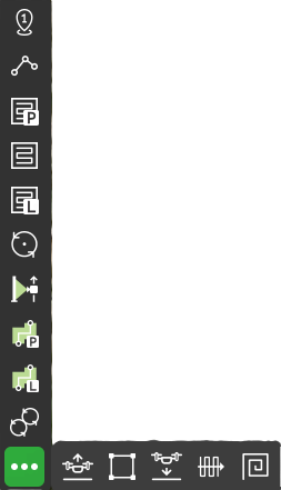
Route planning tools are organized as a toolbar. Usage algorithm for each tool:
- Select the tool on the toolbar;
- Draw a figure on a map. The figure may contain one or several base points;
- Change parameters in tool inspector;
- Optionally add actions in the tool inspector.
The rule of thumb is that speed changes and actions take effect starting from the first calculated point of a figure in which changes are defined.
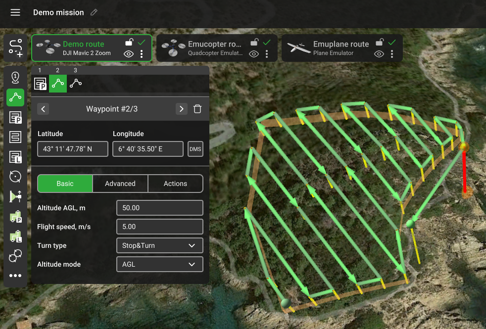
Note: On mouse hover over a selected waypoint, distance to the neighboring segments will display as hints on the corresponding paths. During the adjustments of any segment, the distance to the neighboring segments will be displayed until the route is calculated.
Some parameters are common for almost all tools:
Flight speed – flight speed of the drone for this segment. The speed along the straight 3D line from the current WP to the next WP, should not exceed the maximum speed specified in the vehicle profile settings. Must be a positive number.
Avoid obstacles – flag to be set if buildings have to be considered when planning the path. Do not uncheck, without a specific need to do so.
Avoid terrain – flag to be set if the path has to maintain a minimum height over terrain relief (the corresponding value is one of the vehicle parameters). Do not uncheck this flag, unless necessary.
Turn type – defines how a vehicle passes segments. There are different ways of passing a waypoint for each autopilot. For Ardupilot these are Straight and Spline. For DJI autopilots, these are Stop and Turn (default), and Adaptive bank. Please refer to the vehicle’s manual for information about the supported turn types and functionality. Default turn types do not have an icon on the corresponding waypoints at the route planning window, other turn types do.
Action execution parameters (not available for Takeoff, Waypoint, Landing):
• Every point – actions will be generated on all waypoints;
• At the start – the algorithm will generate actions only at the first waypoint;
• Forward passes – actions generated at all points during the passage, payload disabled at turns
(available only for Photogrammetry and Area scan tools).
Segment bar

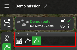
Starting from the UgCS version 4.11, the segment bar bottom of the route card is available.
The segment bar displays the route segment's order. It is possible to select each one and make the order changes by dragging and dropping.
Also, it is possible to select multiple segments to add parameters. Use the buttons Shift or Ctrl and select the segments on the map.
This currently works in routes containing up to 20 segments.

Updated 3 months ago
