Elevation profile
Once the route is calculated, the elevation profile window is available. Open the Elevation profile by clicking the Elevation button on the top bar.


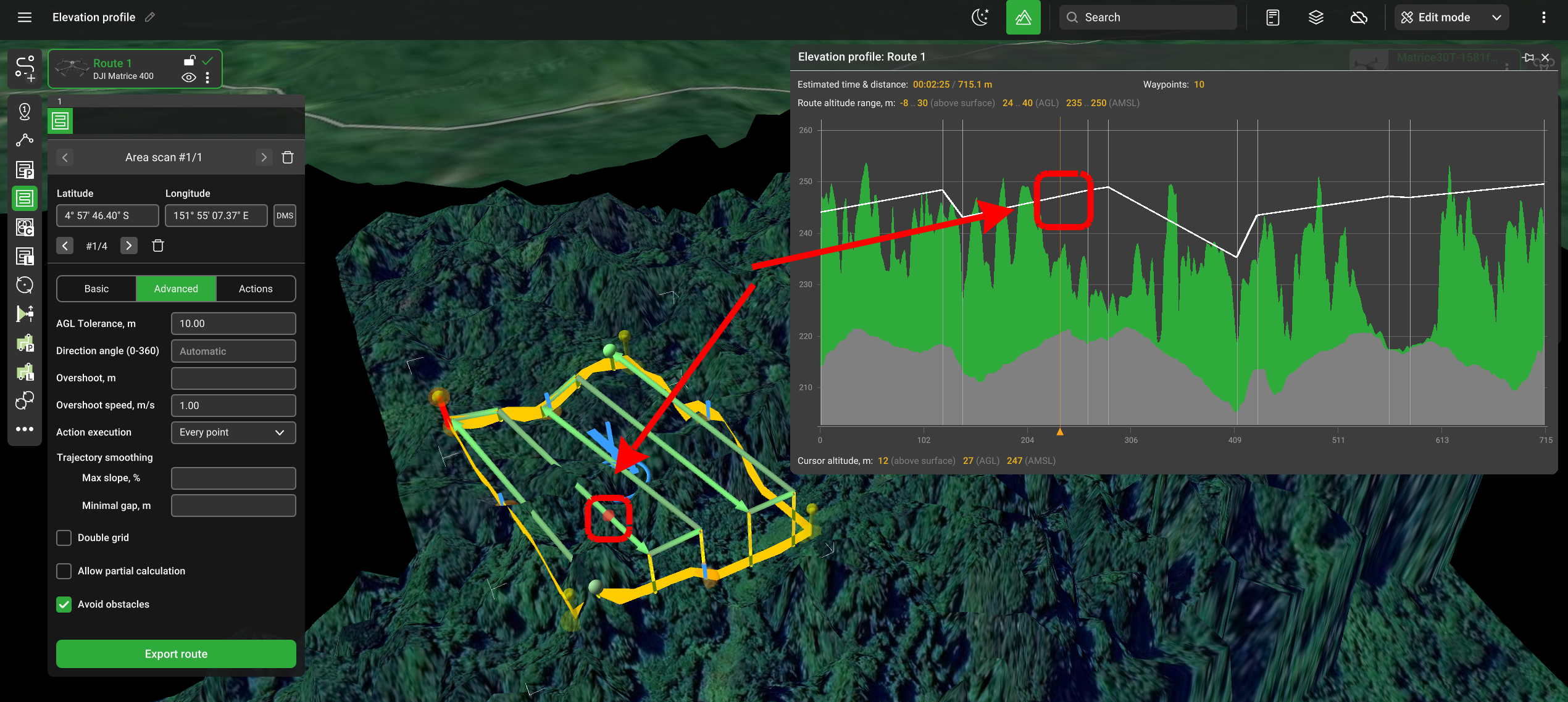
- White vertical lines represent waypoints.
- The area between two waypoints is called a segment.
- The tooltip is available when hovering over the top status bar.
Moving the cursor over the elevation profile highlights the corresponding part of the route.
The window can be hidden by clicking the Elevation button on the top bar once more.
Updated 8 months ago
Did this page help you?