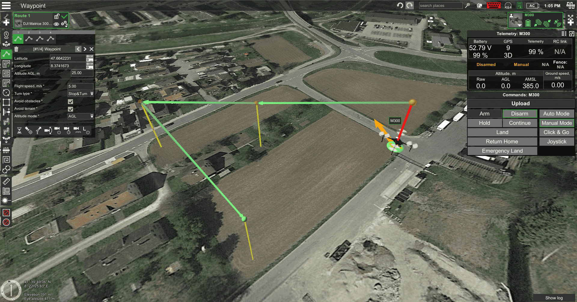
Waypoint


Waypoint flight plan
The waypoint tool is the default tool. To create a new waypoint, press and hold the “Shift” key while simultaneously dragging up from the ground to the desired height or double-click on the map. Therefore, the location and the required altitude of the waypoint are set in one motion. The waypoint’s position can be adjusted more precisely later. To change latitude and longitude, the pin can be dragged by its base. Dragging the pin by its head changes the altitude of the waypoint. Alternatively, coordinates can be corrected in numerical form using the properties window of the waypoint. Multiple waypoints can be drawn in sequence. Each waypoint drawn creates a new route segment connecting particular waypoints.
Updated 3 months ago
