Custom map layers
UgCS allows adding custom map layers as an External URL address, WMS source, or orthophoto images managed by Geoserver.

Importing georeferenced images
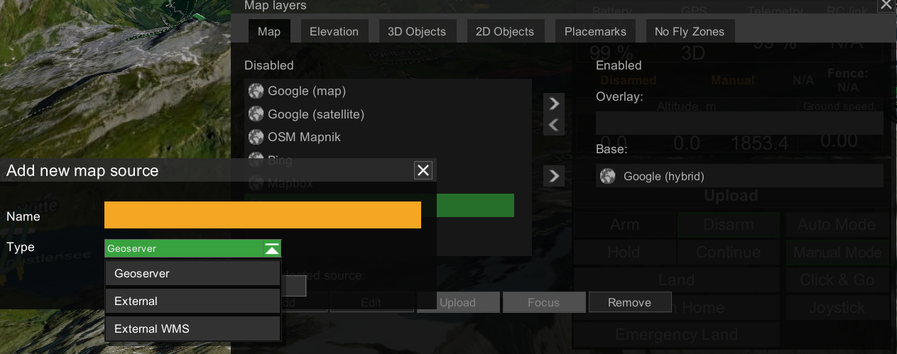
• Navigate to the “Map layers” window “Map”
• Choose “Add”
• Provide a friendly name in the field “Name”
• From the “Type” dropdown, choose “Geoserver”
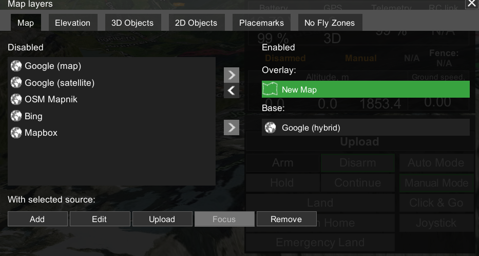
• Press "Create", and the new name will appear in Enabled "Overlay"
• Press "Upload" and select the .tif file from your computer

External georeferenced URL:
UgCS supports providers that use the Google XYZ addressing system.
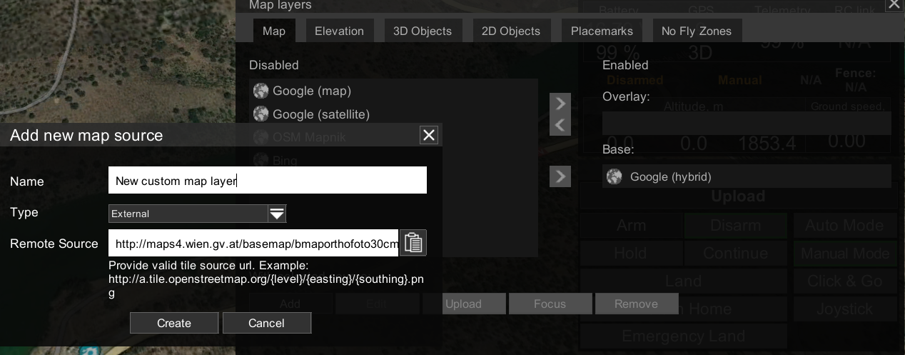
• Navigate to the “Map layers” window “Map”
• Choose “Add”
• Provide a friendly name in the field “Name”
• From the “Type” dropdown, choose “External”
• Enter URL into the field “Remote Source”
(example: http://a.tile.openstreetmap.org/(level)/(easting)/(southing).png)
• Press “Create”, and use arrows to set the layer as “Overlay” or “Base”.

Adding WMS sources
A Web Map Service (WMS) is a standard protocol developed by the Open Geospatial Consortium in 1999 for serving georeferenced map images over the Internet. These images are typically produced by a map server from data provided by a GIS database.
To add external WMS source:
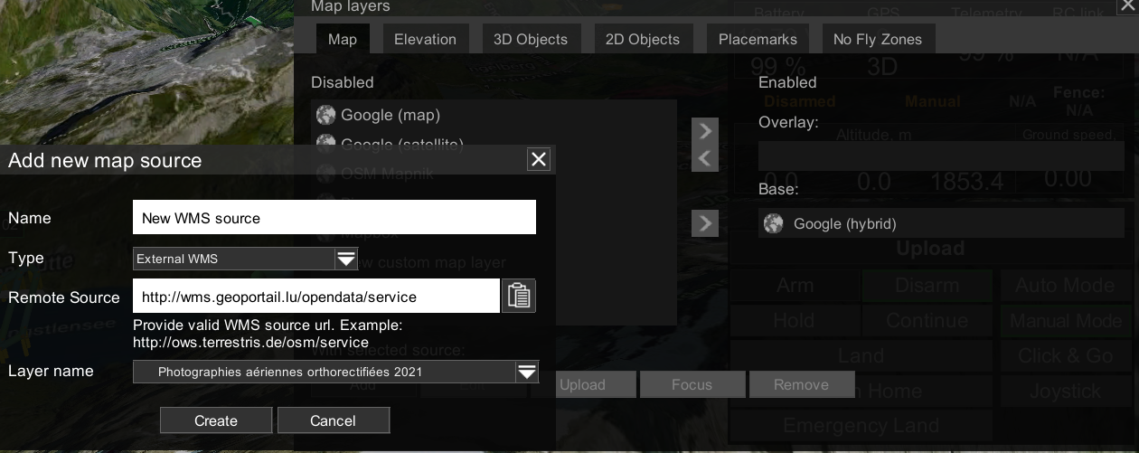
• Navigate to the “Map layers” window “Map”
• Choose “Add”
• Provide a friendly name in the field “Name”
• From the “Type” dropdown, choose “External WMS”
• Enter WMS source URL into the field “Remote Source”
(example: http://ows.terrestris.de/osm/service)
• Choose the WMS layer from the dropdown “Layer name”
• Press “Create”, and use arrows to set the layer as “Overlay” or “Base”.

Updated 3 months ago
