Planning a sample photogrammetry mission
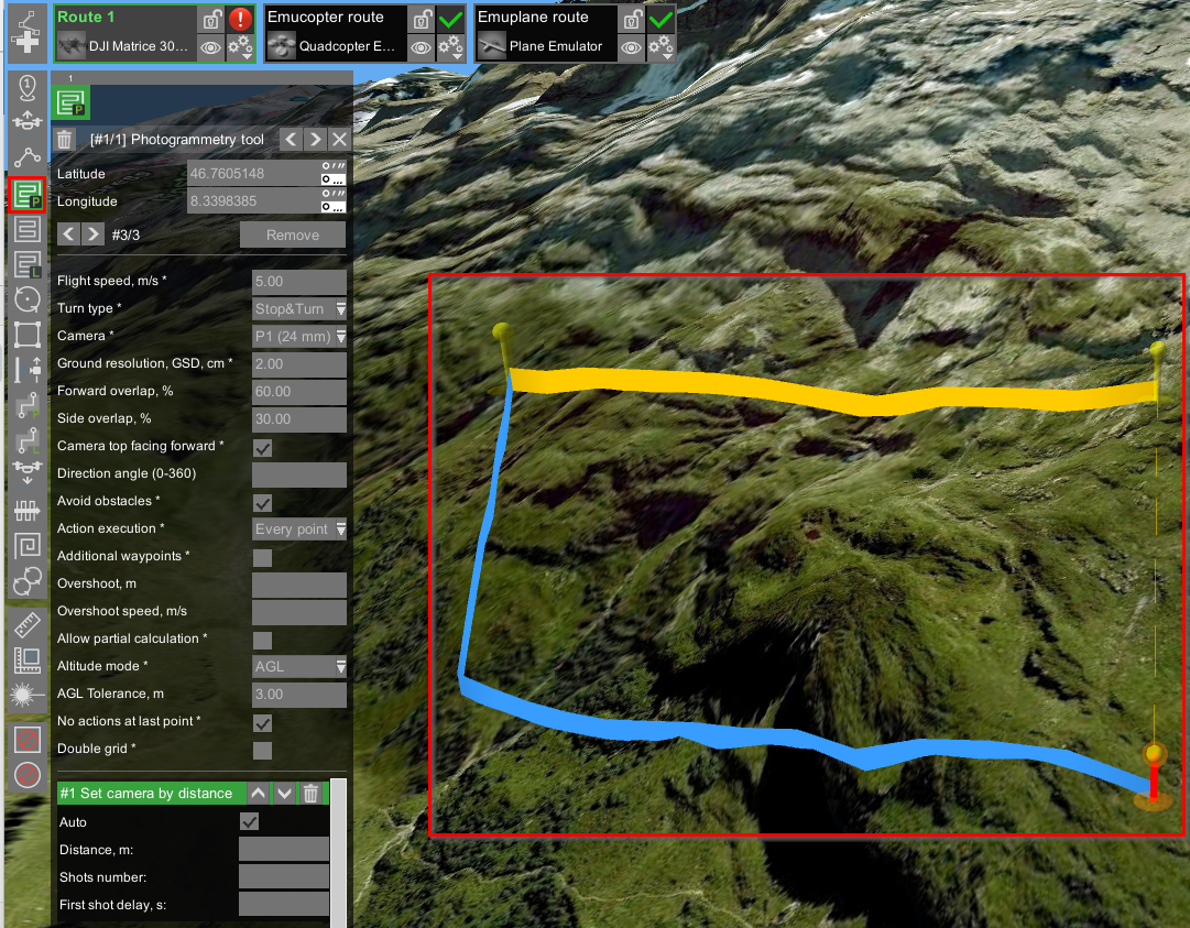
To plan a photogrammetry mission, choose the photogrammetry tool and begin dropping points to outline the area.
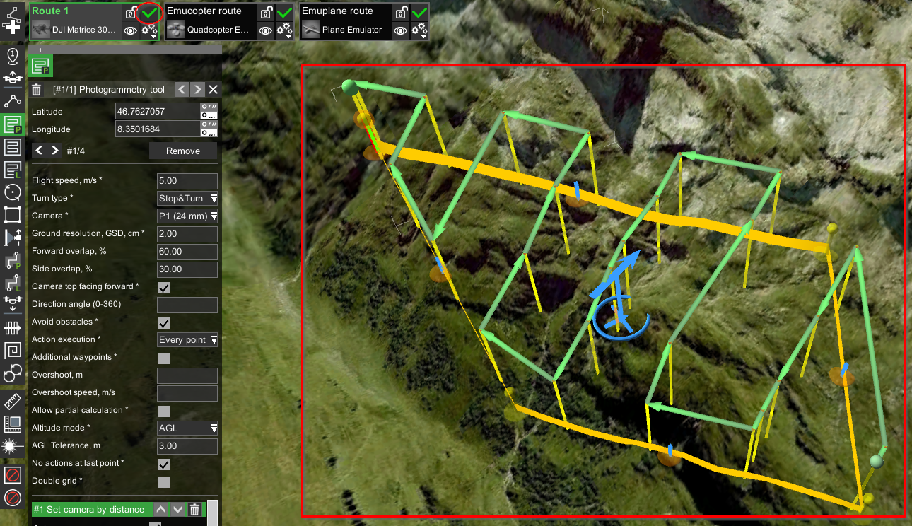
When the route is calculated, it will be formed as a green "snake".
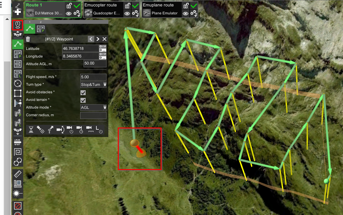
To add a waypoint before the photogrammetry route, select the "First waypoint" tool and drop the waypoint. This step is crucial for proper navigation.
Updated 9 months ago
Did this page help you?